Wuhan University - BIM Introduction to Geospatial Perspective
- #WuhanUniversity
- #BIMTraining
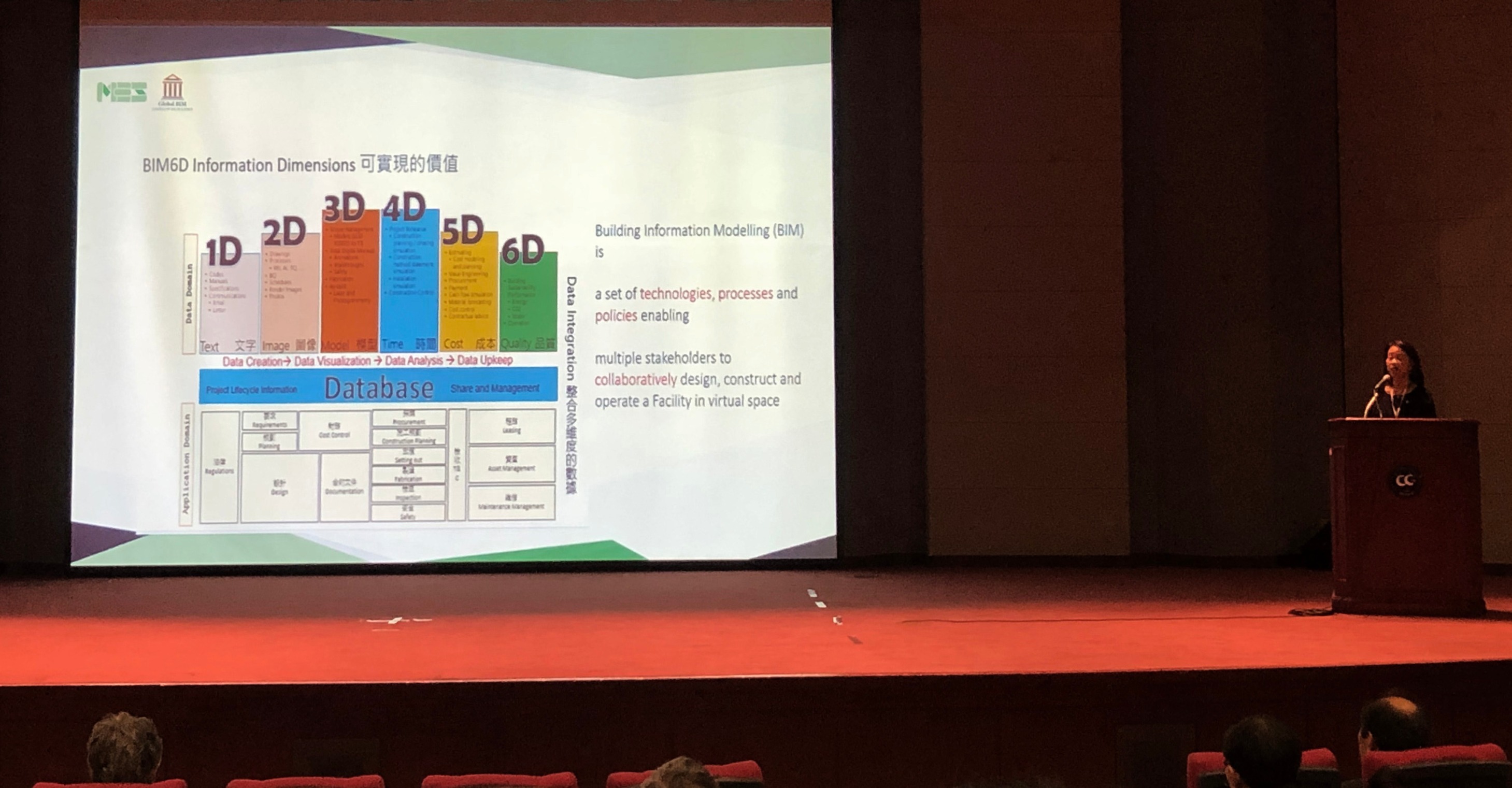
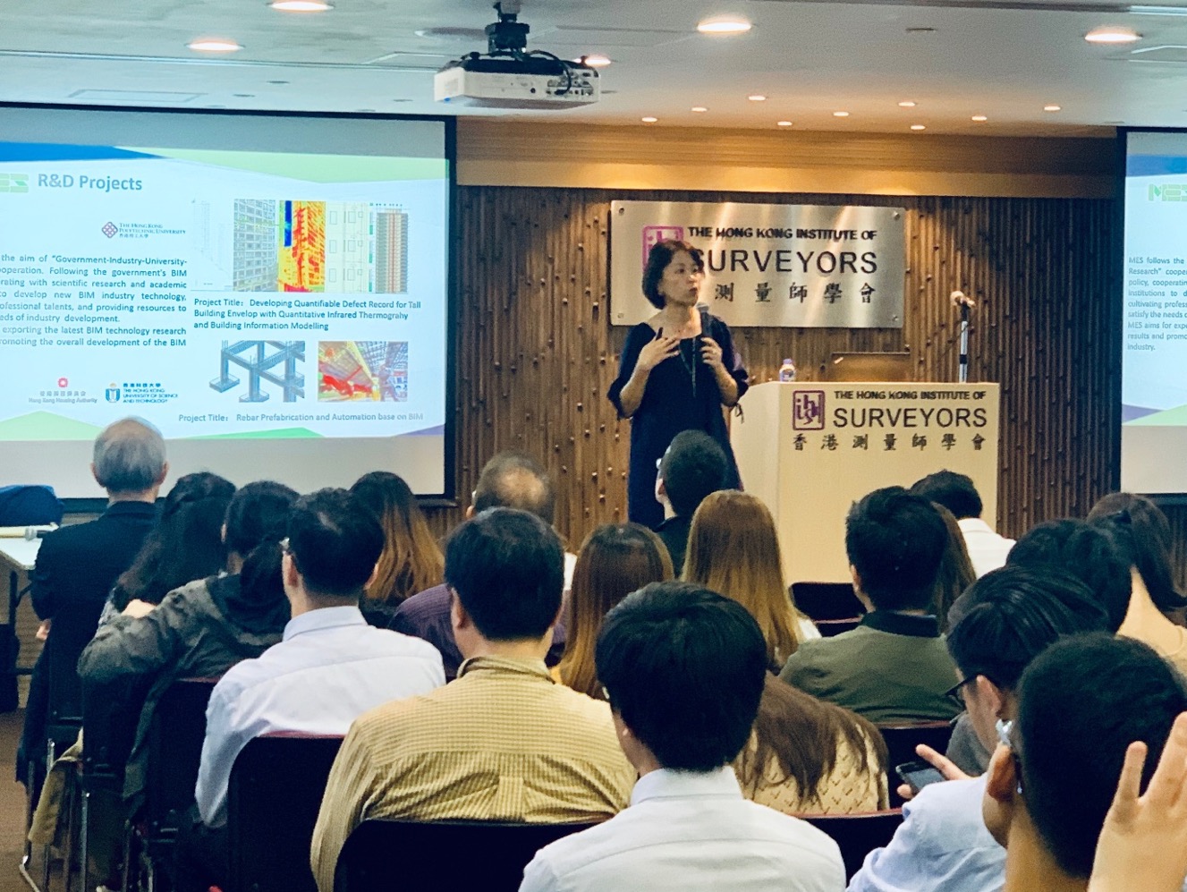
Our Managing Director Sr Miranda Lui presentation on Information Modelling (BIM) Geospatial Perspective to Wuhan University's Master Students.
Date: 20 May 2021 (Thursday)
Time: 19:00 - 21:00 (Hong Kong Time, GMT+8)
Venue: By online media (Webinar)
Language: English / Mandarin
Founded in 1893, Wuhan University is one of the oldest and most prestigious universities in China. Wuhan University (WHU) is a comprehensive and key national university directly under the administration of the Ministry of Education. It is also one of the "211 Project" and "985 Project" universities with full support in the construction and development from the central and local government of China.
Building Information Modelling (BIM) is a new technology enabling architecture, engineering and construction (AEC) industry practitioners to holistically manage information related to construction projects, from planning to design, tendering to construction and operations to facility management.
The integration of building information modelling (BIM) and geographic information system (GIS) in construction management is a new and fast developing trend in recent years, from research to industrial practice.
The integration of building information modelling (BIM) and geographic information system/science (GIS) is a strong support for smart sustainable city due to its capabilities in data integration, quantitative analysis, application of technologies and urban management.
BIM-GIS integration on construction management is a new and fast developing trend in recent ten years, from research to industrial practice. BIM has advantages on rich geometric and semantic information through the building life cycle, while GIS is a broad field covering geovisualisation-based decision making and geospatial modelling. BIM-GIS integration is to integrate the strong parts of both BIM and GIS for building and city modelling.
我們的董事總經理呂靜儀測量師向武漢大學的碩士生作了一個關於建築資訊模型(BIM)與地理空間(Geospatial)的演講。
日期:2021年5月20日(星期四)
時間:19:00-21:00(香港時間,格林威治標準時間+8)
地點:通過在線媒體(網絡研討會)
語言:英語/普通話
武漢大學成立於1893年,是中國歷史最悠久,最負盛名的大學之一。武漢大學(WHU)是教育部直屬的綜合性重點國立大學。也是中央政府和地方政府全力支持的“ 211項目”和“ 985項目”大學之一。
建築資訊模型(BIM)是一項新技術,使建築,工程和建築(AEC)行業的從業人員能夠從規劃到設計,從招標到施工,運營到設施管理的全過程管理與建築項目有關的信息。
從研究到工業實踐,建築資訊模型(BIM)和地理信息系統(GIS)在建築管理中的集成是近年來的一個新興且快速發展的趨勢。
建築資訊模型(BIM)與地理信息系統/科學(GIS)的集成為智能可持續發展城市提供了強大的支持,因為它具有數據集成,定量分析,技術應用和城市管理的能力。
從研究到工業實踐,近十年來BIM-GIS與建築管理的集成是一個新的快速發展的趨勢。 BIM在建築生命週期中具有豐富的幾何和語義信息方面的優勢,而GIS是一個廣泛的領域,涵蓋基於地理可視化的決策和地理空間建模。 BIM-GIS集成旨在集成BIM和GIS的重要部分,以進行建築和城市建模。


